Morterasch - Boval Hutte - MorteraschWalk 8025
Canton - Graubunden/Grisons - Upper Engadine
Author - Lou Johnson
Length - 11.5 km / 7.2 miles
Ascent - 650 metres / 2145 feet
Descent - 650 metres / 2145 feet
Time - 5.00 hours
Grade - moderate
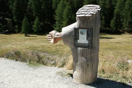
Click image to visit gallery of 12 images.
A walk into the mountains that includes excellent views of glaciers and the mountain range that includes Piz Bernina, which is the only 4000+ metre peak in Graubünden.
Start & End - Morterasch station on the Bernina Railway. Trains operate from Pontresina to Alp Grüm with connections from other parts of the Engadine. See Transport Map for the Upper Engadine Region.
Leave the railway station and take the broad track that goes south towards the foot of the Morterasch Glacier. Look out for a wooden sign on your right that directs you to the Boval Hütte and take this narrower path that leads into forest.
The path begins to climb through the trees to reach a path junction where you keep left. The views improve as the trees become more widely spaced with the foot of the Morterasch Glacier down to your left.
Ahead a wonderful mountain vista helps you forget the climb. Some sections of the path follow the moraine but the policy appears to be diverting walkers to a parallel path off the moraine. After a steady climb you begin to gain height more quickly with the path zigzagging up the mountainside with some fixed cables in exposed sections.
Levelling off again you might think the Boval Hütte is close but sadly there is one final section of steep ascent up to the hut, which offers a breathtaking panoramic view of mountains and glaciers.
A leisurely stay is recommended before returning by the outward route back to Morterasch station.
Suggested Maps
 Landeskarte der Schweiz - 1:50000 - Sheet SW 5013 - Oberengadin - Engiadin'Ota
Landeskarte der Schweiz - 1:25000 - Sheet SW 2521 - Engadin
Oberengadin, Bergell-Puschlav, Wanderkarte - 1:50000
Recommended Books
The Swiss Alps
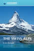 A comprehensive guidebook to every mountain area in the Swiss Alps. This handy resource includes information for walking, hiking, trekking, climbing and ski mountaineering. Access, accommodation and facilities in the valley bases and full information about Swiss mountain huts is included to help you make the most out of a trip there.
Walking in the Alps
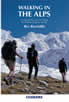 An outstanding and comprehensive book exploring the walking and trekking possibilities in every Alpine region. Many thousands of possible routes are suggested, from the Maritime Alps of southern France throughout the range to the Julian Alps of Slovenia. Walks vary from undemanding to long and tough, and everything in between.
Stay Safe
Do enjoy yourself when out walking and choose a route that is within your capabilities especially with regard to navigation.
Do turn back if the weather deteriorates especially in winter or when visibility is poor.
Do wear the right clothing for the anticipated weather conditions. If the weather is likely to change for the worse make sure you have enough extra clothing in your pack.
Do tell someone where you are planning to walk especially in areas that see few other walkers.
Do take maps and other navigational aids. Do not rely on mobile devices in areas where reception is poor. Take spare batteries especially in cold weather.
Do check the weather forecast before leaving.
Do do not exceed your capabilities.
Please Note - These walks have been published for use by site visitors on the understanding that Walking Sitzerland is not held responsible for the safety or well being of those following the routes as described. It is worth reiterating the point that you should embark on a walk with the correct maps at the most detailed scale where possible. This will enable any difficulties with route finding to be assessed, and corrective action taken if necessary.